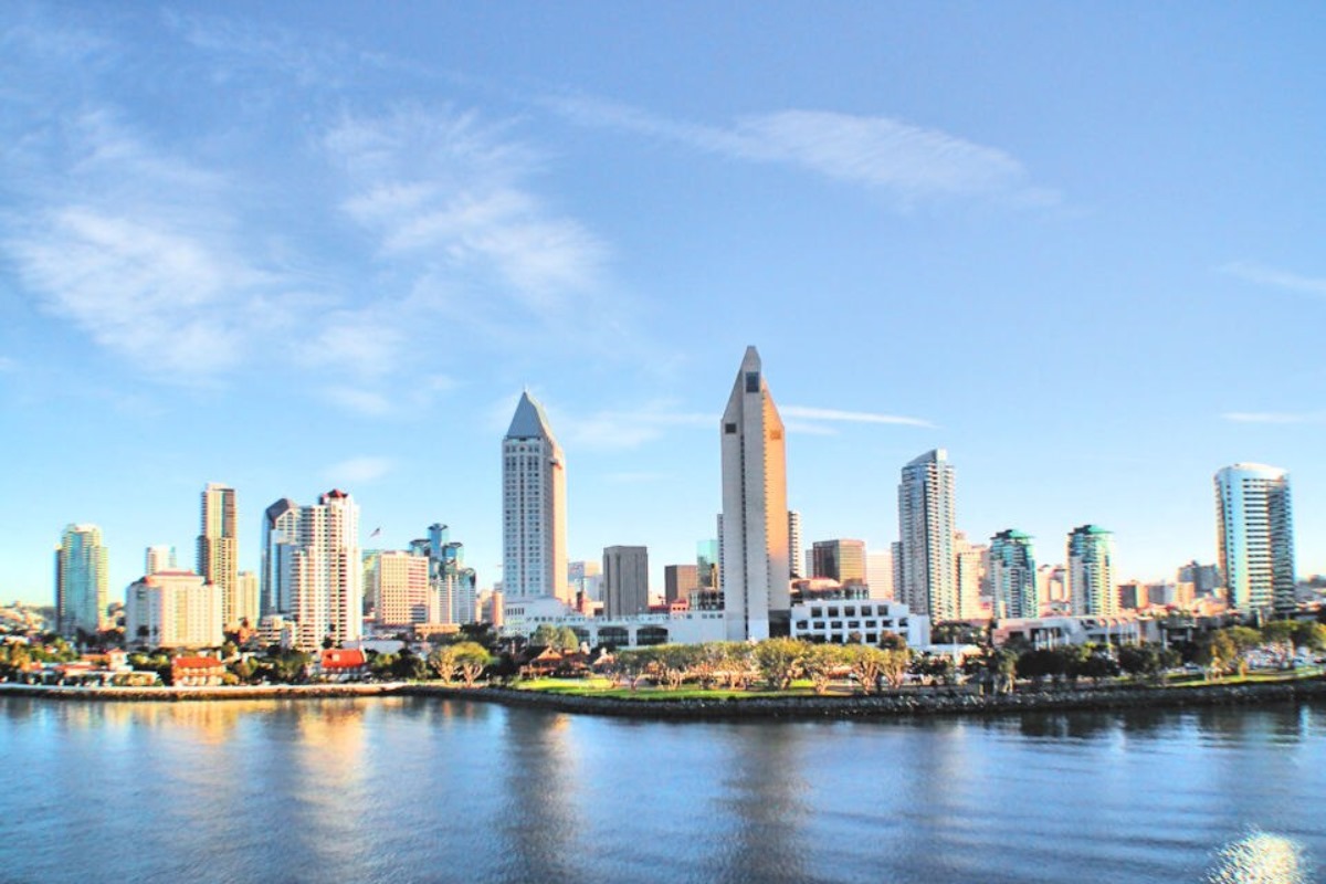
UPDATE: San Diego County is experiencing an unusually warm start to November, with temperatures soaring 8-12 degrees above seasonal norms today. The National Weather Service (NWS) reports that both desert and coastal areas will feel the heat, welcoming visitors with summer-like conditions.
This warmth is attributed to upper-level ridging and offshore flow, with wind gusts expected to peak at around 25 mph. Residents and visitors are advised to enjoy the sun but prepare for patches of fog along the coast and in western valleys as night falls.
Looking ahead, a slight cooling trend is anticipated. The NWS forecasts “minor cooling as onshore flow returns” tomorrow due to a trough of low pressure moving through the region. Residents should keep a light jacket handy as temperatures begin to dip.
A weak cut-off low off the Southern California coast is also expected to bring scattered high clouds by Sunday, potentially creating a picturesque sunset for those enjoying the earlier 5:00 PM twilight.
Throughout the week, the weather pattern remains mostly calm, despite two short waves to the north that previously hinted at possible mid-week showers. The NWS notes, “Best we can possibly do is some marine layer drizzle Thursday morning, but even that is looking less likely.”
Winds are predicted to pick up in high regions and deserts by Wednesday and Thursday, while the marine layer deepens, potentially impacting coastal conditions. In aviation news, low clouds earlier today reduced visibility at coastal and western valley airports, but VFR (Visual Flight Rules) conditions are expected to maintain in inland areas.
For those planning to hit the beaches, the marine conditions remain favorable, with no significant hazards through Wednesday. However, sailors and beachgoers should brace for higher-than-average waves along southwest-facing beaches from today through Sunday.
As San Diego County enjoys this warm start to November, residents are urged to stay updated on weather changes and prepare for the cooler days ahead.