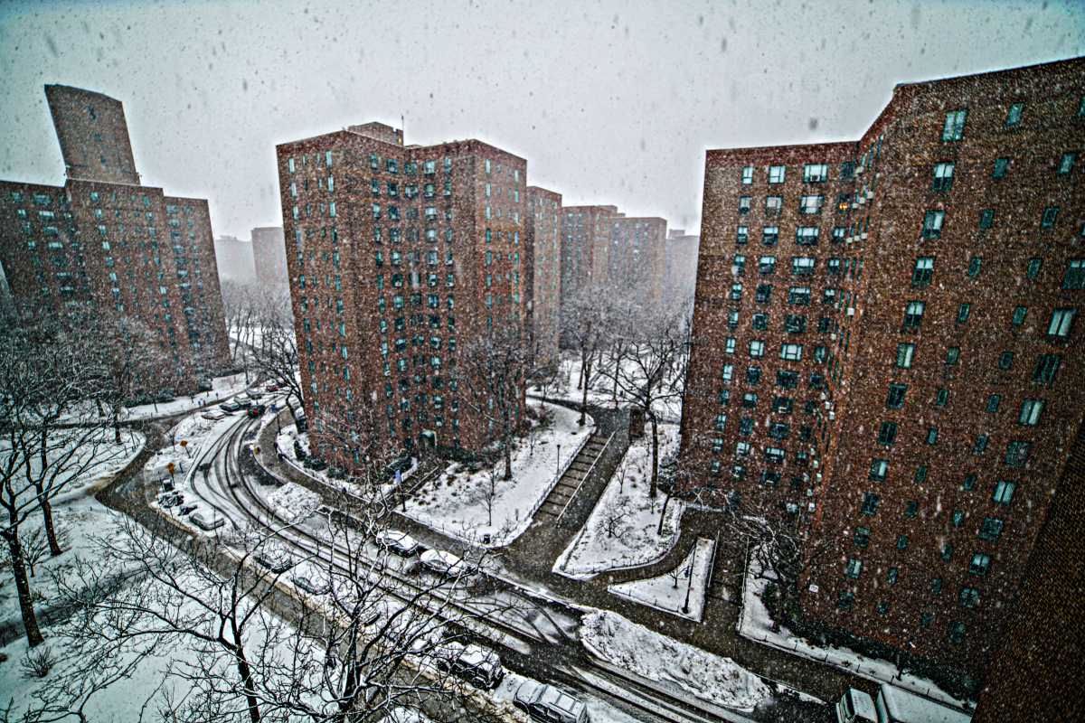
UPDATE: New Yorkers are waking up to a winter wonderland as the city experiences its first significant snowfall of the season. By 8 a.m. today, December 14, 2025, several inches of snow have blanketed parts of the city, with the heaviest snowfall expected before noon.
The National Weather Service (NWS) has issued a winter weather advisory effective until 1 p.m. today. Total snow accumulations are projected to range from 3 to 5 inches, with some areas potentially receiving up to 6 inches. Authorities warn that these conditions will create hazardous travel situations, urging residents to “slow down and use caution while traveling.”
Temperatures are struggling to reach above freezing, with a high of only 32°F and a low of 20°F throughout the day. While no snow is expected for Monday’s commute, temperatures are predicted to remain at freezing, raising concerns about icy sidewalks and streets.
Property owners are reminded of their responsibility to clear sidewalks within four hours after the snow ends, or they may face fines ranging from $100 to $150.
Meanwhile, the NYC Emergency Management is monitoring the coastal storm that has led to this winter weather. Ground and air transportation have already been disrupted. As of 8 a.m., subway lines, including the 1, A, and R trains, are experiencing delays. Flights at LaGuardia Airport are delayed by over two hours due to snow and ice conditions, and similar disruptions are reported at JFK Airport.
For continuous updates on the weather and travel advisories, residents can visit nyc.gov or call 311. Stay safe and informed as NYC navigates this winter storm!