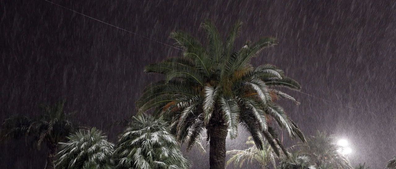
UPDATE: An extraordinary weather event is unfolding as Arctic cold air sweeps into South Florida this weekend, creating a rare possibility for snowfall along the Gulf Coast. Forecasts indicate a 10-20% chance of snow flurries late on Saturday night through the early hours of Sunday morning, according to the National Weather Service (NWS).
As temperatures plunge, residents from the Florida Panhandle down to the Fort Myers/Naples region may witness the unexpected sight of snowflakes. This unusual event stems from a phenomenon known as “Gulf-effect” snow, similar to lake-effect snow, but occurs when cold air passes over the warmer waters of the Gulf of Mexico.
The impending nor’easter, affecting multiple states along the East Coast, is funneling a deep pool of cold air into Florida. The interaction of this frigid air with the remaining moisture from the storm could lead to scattered flurries or a rain/snow mixture along the Gulf Coast.
In a tweet that has sparked excitement, the NWS Tampa Bay stated, “Did you say SNOW is in the forecast this weekend?!? 😱 There is a 10% to 20% chance of snow flurries along the coast late Saturday night and into Sunday morning. We do not expect this to stick to the ground.” Residents are urged to prepare for cold, blustery conditions, which remain the primary impact of this weather system.
Historically, snowfall in this region is extraordinarily rare. Tampa has recorded measurable snowfall only twice: 0.2 inches on January 19, 1977, and 0.1 inches on February 13, 1899. Meanwhile, Naples has never experienced measurable snowfall, as confirmed by FOX Weather. While flurries have occasionally been reported in Central Florida, significant accumulation is unlikely due to the typically warm ground and Gulf waters.
Residents are encouraged to stay updated on weather alerts as the situation develops. The NWS will continue to monitor conditions and provide updates on the potential for snowfall across South Florida.
With snow flurries, the community can expect an unusual winter weekend—something that could become a memorable experience for many. Stay tuned as we bring you the latest developments on this rare weather phenomenon!