UPDATE: Residents in Indianapolis are bracing for a dramatic weather shift as record highs are expected today, followed by a severe winter storm forecasted for Monday. The National Weather Service warns that a strong cold front will sweep through, bringing rain and potentially hazardous conditions this evening.
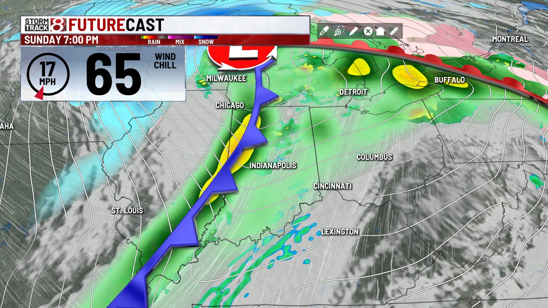
As of Sunday, December 31, 2023, temperatures are soaring into the 60s, with a possibility of breaking the long-standing record of 65°F set in 1984. Conditions will be mostly cloudy, breezy, and humid throughout the day. However, as the afternoon progresses, rain and storms are expected to intensify, particularly as a cold front moves east across Indiana.
Residents should prepare for gusty winds exceeding 50 MPH, which could lead to localized severe weather. While the chance of tornadoes is minimal, it is not entirely ruled out due to the significant wind energy in the atmosphere. Rainfall totals are predicted to range from 1/4” to 3/4”, adding to concerns for potential flooding in low-lying areas.
Late Sunday evening, temperatures will plummet below freezing, posing a risk of icy conditions for the Monday morning commute. Officials advise caution, as any residual water from Sunday’s rainfall could freeze quickly. Driving conditions may become hazardous, especially with the combination of cold air and gusty winds.
Looking ahead to Monday, January 1, 2024, expect cold and blustery conditions with temperatures stabilizing in the 20s. Wind chills may drop to the teens or lower, further emphasizing the winter’s return. Snow showers are possible, especially north of Indianapolis, but significant accumulation is not anticipated.
Stay tuned for further updates as conditions evolve. Residents are encouraged to monitor local weather reports and prepare for a swift change in conditions as the New Year approaches.
This weather shift not only impacts travel plans for New Year’s Eve celebrations but also serves as a stark reminder of winter’s return to the Midwest. Share this information to keep your community informed and safe.