UPDATE: The National Weather Service (NWS) has just issued a critical hydrologic outlook for Seattle and surrounding areas, warning of potential flooding as a strong atmospheric river sweeps through the region from Friday, October 20 to Saturday night. Residents in Mason, Jefferson, Clallam, Whatcom, Skagit, Snohomish, and King counties are urged to stay alert as significant rainfall could lead to swollen rivers and localized flooding.
The forecast indicates that mean rainfall will range between 2 to 4 inches, with some areas possibly receiving over 5 inches. Heavy rainfall is anticipated particularly in the Olympic Peninsula and the Washington Cascades, with the Skokomish River expected to reach minor flood stage on Saturday.
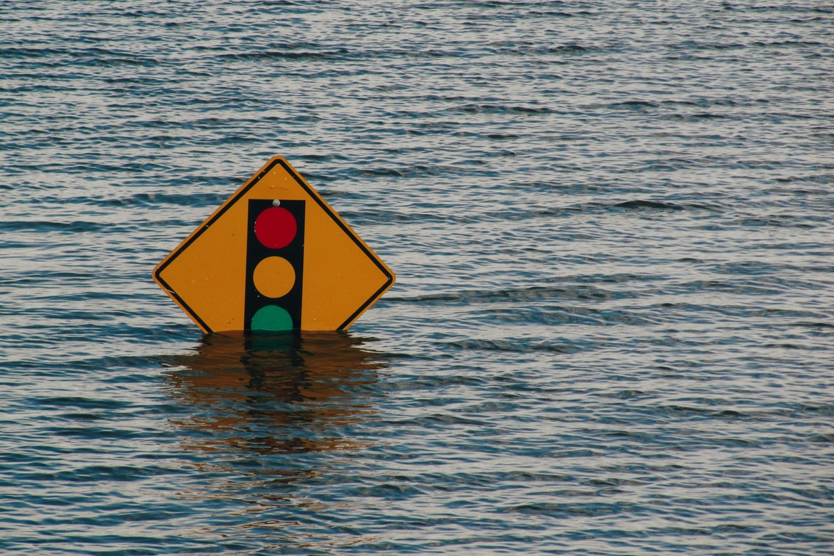
Residents should prepare for the possibility of flash flooding or debris flows, especially in areas with recent burn scars, which could complicate emergency response efforts. The NWS emphasizes the need for vigilance as the ground is already saturated from previous rains, raising the risk of nuisance flooding. Clearing drains of leaves is advised to prevent water accumulation.
As of this morning, Seattle’s weather stands at a brisk 45°F with high humidity at 87%. Winds are mild, blowing southeast at 6 MPH. Rain is forecasted to intensify after 2 PM, with daytime highs reaching a comfortable 56°F. However, the NWS warns that a 100% chance of rain looms tonight, with lows around 51°F and gusts potentially hitting 32 MPH.
In the wake of this developing situation, the NWS has cautioned that this atmospheric river could signal the onset of more severe seasonal weather patterns. Residents are advised to monitor river forecasts closely and brace for potentially adverse conditions over the weekend.
Stay tuned for further updates as the weather situation evolves. Your safety is paramount; prepare now to ensure you and your family are ready for what lies ahead.