URGENT UPDATE: A significant weather alert has been issued for Central Pennsylvania, with snow expected until 8 a.m. today. The National Weather Service confirmed this alert at 3:26 a.m., warning residents of hazardous travel conditions across multiple counties.
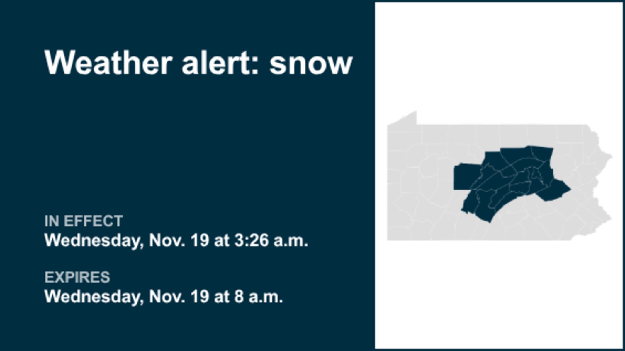
The affected areas include Northern Clinton, Northern Centre, Southern Centre, Northern Lycoming, Southern Clinton, Southern Lycoming, along with Clearfield, Blair, Huntingdon, Mifflin, Juniata, Sullivan, Union, Snyder, Montour, Northumberland, Columbia, and Schuylkill counties.
According to meteorological reports, a compact but potent upper-level disturbance is tracking eastward from South-Central PA to the Southern Poconos. Residents can expect a period of accumulating wet snow that will impact the mid-morning commute, particularly in the Middle Susquehanna Valley and Western Poconos.
Snowfall is predicted to begin tapering off west of Interstate 99 between 4 and 5 a.m., with conditions worsening in the eastern regions from 5 to 8 a.m.. Snow accumulations of 1 to 2 inches on untreated roads are likely, creating slushy and potentially dangerous driving conditions.
Officials urge caution for anyone traveling this morning. The weather service advised,
“Use extra caution if you must travel this morning as potentially slick roads may lead to accidents. Slow down and allow plenty of stopping distance between you and the vehicle ahead. Avoid braking suddenly.”
This short bout of wintry weather is expected to significantly impact school and work commutes across Central PA, particularly for those southeast of a line running from Altoona to State College and Williamsport.
Stay tuned for updates as conditions develop. Keep your safety a priority and monitor local weather reports for the latest information. Share this news to help others stay informed about the hazardous conditions affecting Central Pennsylvania today.