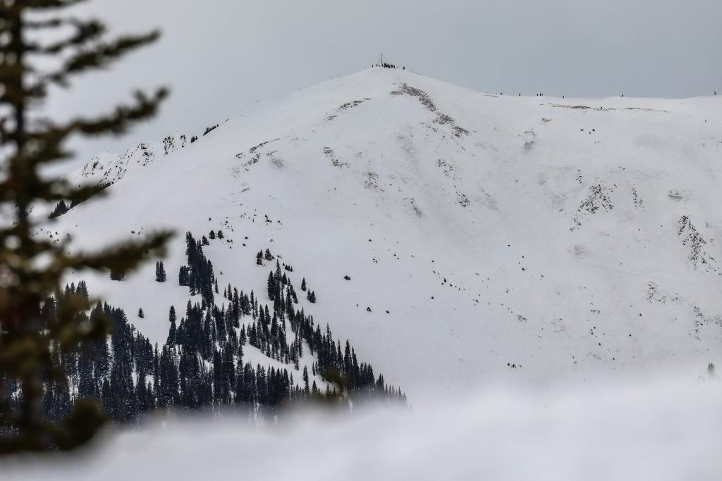
URGENT UPDATE: A warm storm has just swept across Colorado’s northern and central mountains, delivering significant snowfall totals of up to 10 inches at several ski resorts. The storm concluded early Friday morning, February 15, 2026, leaving a winter wonderland in its wake, particularly in areas close to the Continental Divide.
Resorts in Summit County experienced the highest snow accumulation. Notable totals include Copper Mountain at 10 inches, Winter Park with 9 inches, and Breckenridge Ski Resort also receiving 9 inches of fresh powder. These numbers are closely aligned with earlier forecasts from meteorologists at OpenSnow, who predicted snow totals of 5-10 inches for this warm storm.
While the higher elevations celebrated the snowfall, lower base areas and valleys experienced rain and cloudy conditions due to a warmer storm system that brought a snow line of approximately 9,000 feet. The following is a breakdown of the snowfall between Wednesday and Friday morning according to OpenSnow:
– Copper Mountain: 10 inches
– Winter Park: 9 inches
– Breckenridge Ski Resort: 9 inches
– Arapahoe Basin Ski Area: 8.5 inches
– Keystone Resort: 8 inches
– Loveland Ski Area: 7 inches
– Vail Mountain: 7 inches
– Steamboat Resort: 6 inches
– Beaver Creek: 6 inches
– Irwin: 4.5 inches
– Cooper Mountain: 4 inches
– Aspen Mountain, Snowmass, and Sunlight each received only 0.5 inches.
Looking ahead, Friday and Saturday are expected to remain dry, but showers will return to the northern areas on Sunday. Additionally, forecasts indicate that more storms could hit the region around March 3-4 and March 6-7, with these systems favoring the northern mountains once again.
This storm has invigorated the ski community, enhancing conditions for skiers and snowboarders eager to hit the slopes. As the excitement builds, local businesses and resorts anticipate a boost in visitors looking to enjoy the fresh powder.
Stay tuned for more updates as conditions evolve!